
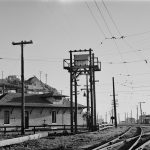
841 at the Shoreline
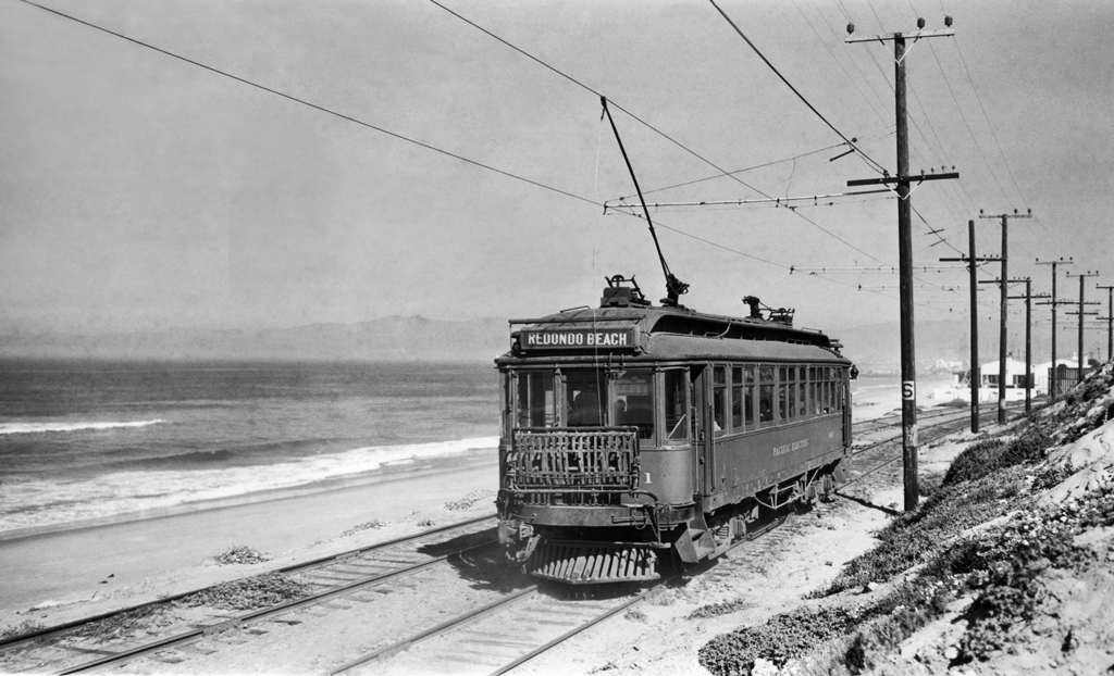
An inbound 800-class interurban car rolls along the shore line of the blue Pacific at an unknown location. It was a place where the line ran behind houses along the beach.
Charles D. Savage Photo, Donald Duke Collection, Pacific Electric Railway Historical Society Collection
Recent Posts

Showing 8 comments
Perhaps it’s that stretch of Malibu, by Dick Clark’s house. His caretaker told me years ago and in the 90s that there used to be a railroad several yards out from the shore. The water level had risen sense then , I’m not sure what decade.
Redondo Beach.
If you pull up the picture you can see the old Redondo Beach pavilion in the background. It’s on the shoreline between Redondo and manhattan Beach
Georgia, I believe the railroad that the caretaker was speaking of was the Rindge Ranch Railroad also known as the Malibu Railway. It was built by the Rindge family to keep the Southern Pacific from building on their land that occupied the area from Oxnard to Santa Mince. SP wanted to complete their coast line routes. Parts of it can still be seen at low tide. One of the lifeguard stations along PCH has I section of track on display from the Rindge Ranch RR. I think it’s the lifeguard station at Sunset Besch that has the display. Also, depending on where Mr Clark’s home was, it could have SP route to their Long Pier that extended more than a mile into the Santa Monia Bay, SP’s one time Port of Los Angeles.
This photo became part of the cover of our Pacific Electric Railway Then and Now book available for purchase on this site. As near as I could sort out, this area was just a few hundred feet south of Playa Del Rey. It’s on the gentle curve that turns eastward from the shoreline where it then passed through Playa Del Rey.
Your comment on Jan. 9, 2014, appears to me to be correct. Back in 1956, there were homes close to the beach at Playa del Rey, where the PE map shows a line running along the coast from near the mouth of Balonna (sp?) south to Redondo Beach.
This definitely just south of Playa del Rey. The white buildings were the Westport Beach Club.
Manhattan Beach leads to Meadows 111.